Do you disagree with a neighbour about a boundary?
We explain what the available mapping and documents show, where they differ and what cannot be resolved from maps alone.
Mapping and territorial analysis
If neighbours disagree about where a boundary lies, we compare cadastral mapping, available documents and observable features. We also study tracks, areas and historical changes.
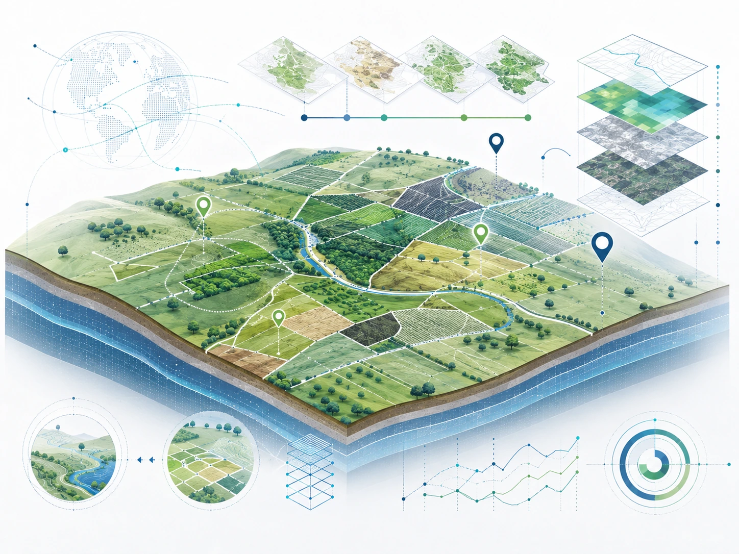
We identify the study area and clarify what you need to check. You can confirm the property visually before submitting your request.
We use Geographic Information Systems, remote sensing and spatial analysis to reconstruct changes, locate features and study spatial relationships that are not always apparent from a simple visual inspection.
Boundary disputes between neighbours
We compare the Spanish Cadastre parcel map with the deeds and plans supplied, available land-registry information, aerial imagery and identifiable features on the ground. We explain the date and precision of each source and whether a field survey is needed.
The report uses comparative maps to show where sources agree or differ. A cadastral line does not, by itself, decide ownership or settle a dispute; correction or formal boundary determination may require a separate procedure.
We explain what the available mapping and documents show, where they differ and what cannot be resolved from maps alone.
We analyse changes in land use, crops, vegetation, area and other territorial features.
We can study its presence, alignment and evolution where sufficient information exists to reconstruct it.
We assess its spatial and temporal component within the available technical scope.
Deliverable
The work is delivered as a technical mapping report tailored to the question being assessed, together with the maps and graphical material needed to understand the configuration or evolution of the land.
The cartographic reports are issued with professional authorship as Expert Geographer (Perito Geógrafo). Where the assignment has an expert-report or court purpose, the document separates observable facts, measurements, technical interpretation, conclusions and limitations.
Types of analysis
We can analyse the spatial and temporal evolution of plots, tracks, land uses, vegetation, crops and other relevant features, provided suitable information exists to reconstruct that evolution.
We can study the location, configuration and evolution of enclosures, tracks and access routes, livestock trails, areas, plots and other geographically defined features.
Many cases do not fit a fixed service. If there is a geographic component that can be analysed technically, we will assess what scope the study could have.
Territorial analysis
Tell us what you need to check or reconstruct, where it is located and what you need to determine. We will assess the appropriate technical scope.